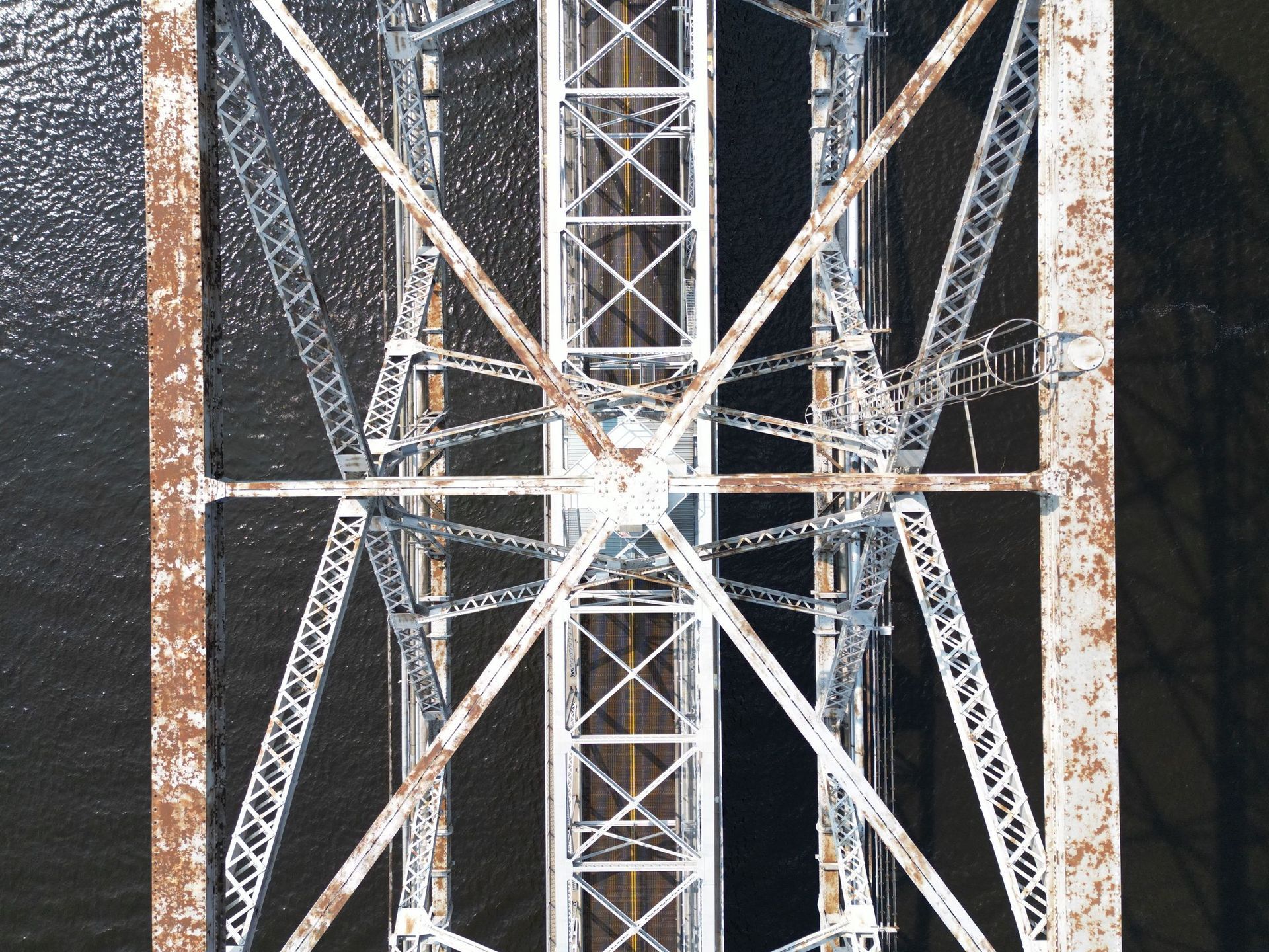
Infrastructure inspection is mostly an access problem. The condition that matters is usually on the underside of a deck, the top of a tower or the far side of a tank, and reaching it traditionally means a snooper truck, a lift, a climb or a lane closure.
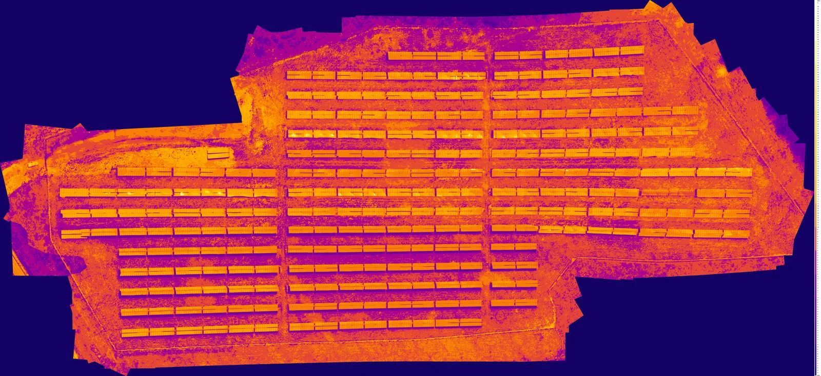
Aerial survey gets the camera there in minutes. Thermal adds what a visual pass cannot see: delamination in concrete, moisture behind a facade, insulation loss on a tank, heat signatures around a bearing or a joint.
For construction, the same flight produces orthomosaic maps and 2D or 3D models, which makes monthly progress documentation, earthwork verification and as-built records a routine deliverable rather than a project of their own.
- Bridges
- Culverts
- Towers
- Water tanks
- Public works assets
- Construction monitoring
- Concrete delamination and spalling
- Moisture behind facades and in tanks
- Structural and weld condition documentation
- Tower and antenna condition
- Orthomosaic and 3D site models
- Monthly construction progress records
We discuss your goals, your concerns and what the inspection actually needs to answer.
Weather, airspace, site access and safety are evaluated before anything flies. This is the part most operators skip.
FAA-compliant flight operations. Thermal and high-resolution visual imagery collected with professional-grade equipment.
Thermal imagery is reviewed for temperature anomalies and areas that warrant further evaluation.
A detailed report with annotated imagery, observations and findings you can hand to a maintenance team or an adjuster.
Tell me the site, the size and roughly when, and I will come back with a number and a recommended flight window.