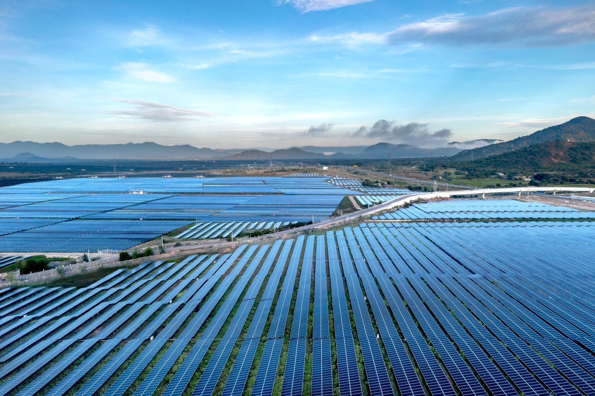
Not a stock photograph of a drone. These are radiometric frames from real inspections, with the temperatures the camera measured.
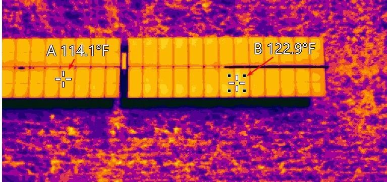
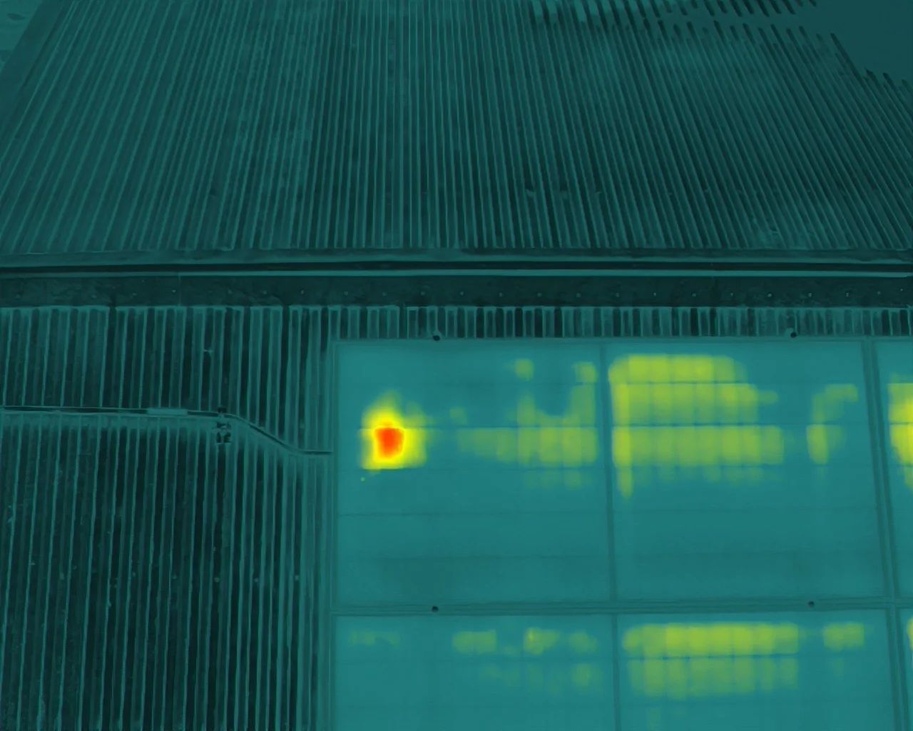
Not every problem is visible. Thermal imaging detects the temperature differences that precede most equipment failures - a loose connection, a wet roof deck, an underperforming solar string - weeks or months before anything shows up on a walk-around.
Using infrared sensors on a commercial drone, Blue Horizon Drone provides a safe, efficient and non-invasive way to inspect roofs, solar arrays, electrical equipment and infrastructure - usually without interrupting normal operations.
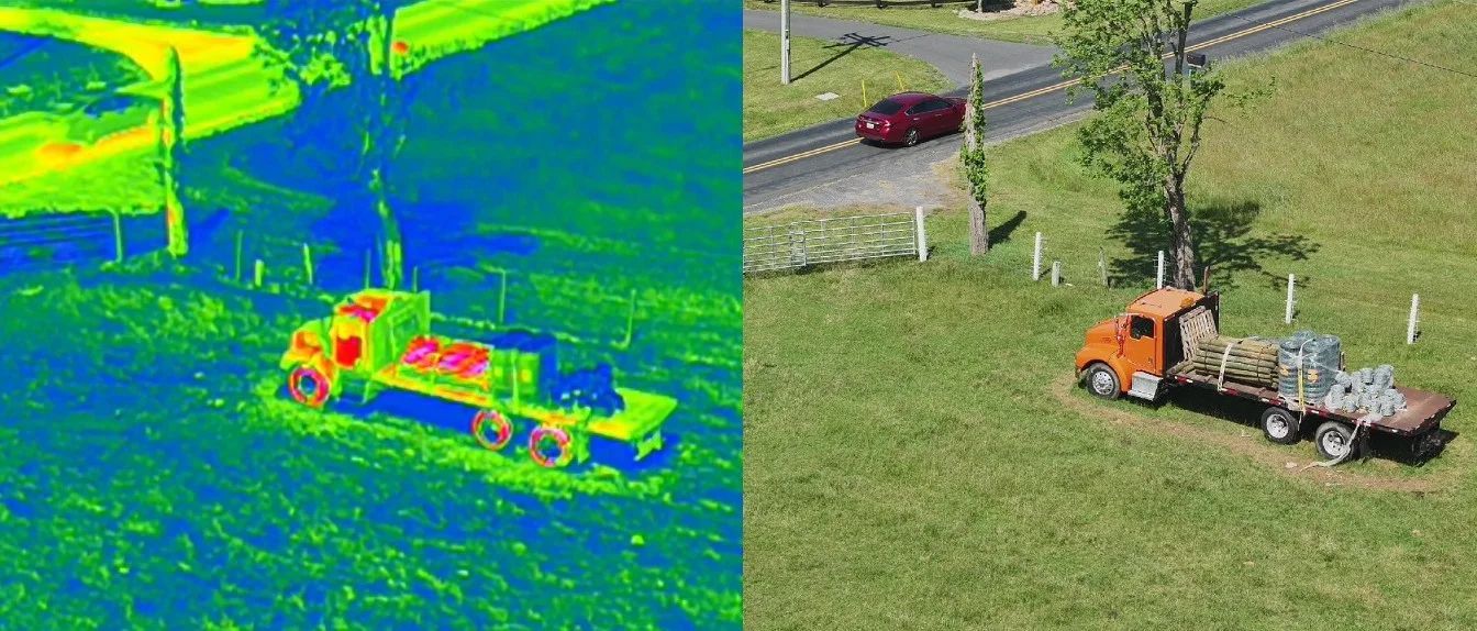
Commercial work is the focus - solar, electrical, roofing, utility and infrastructure. Residential is taken as it comes.
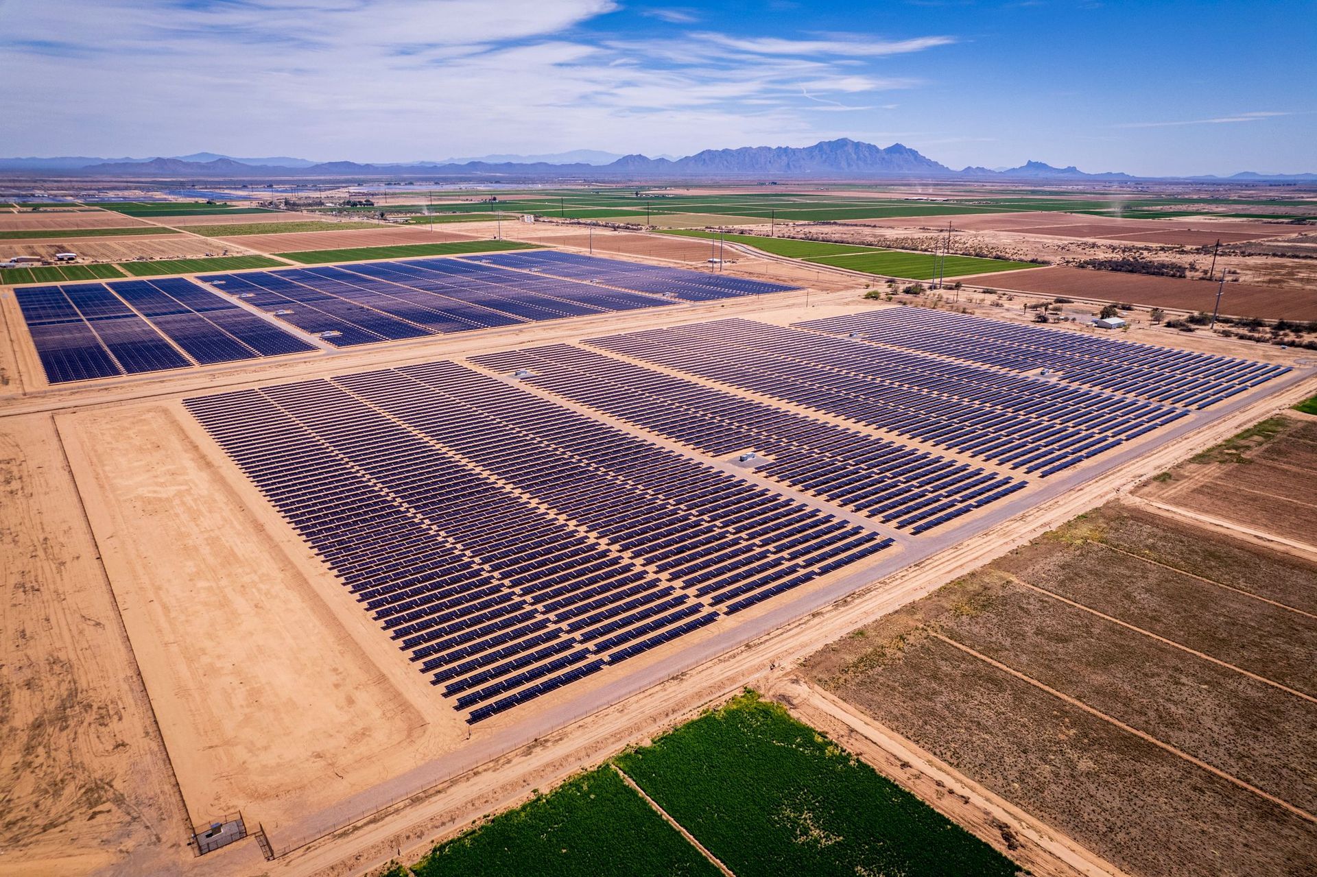
Utility-scale farms, commercial arrays and residential systems.
See solar pv inspections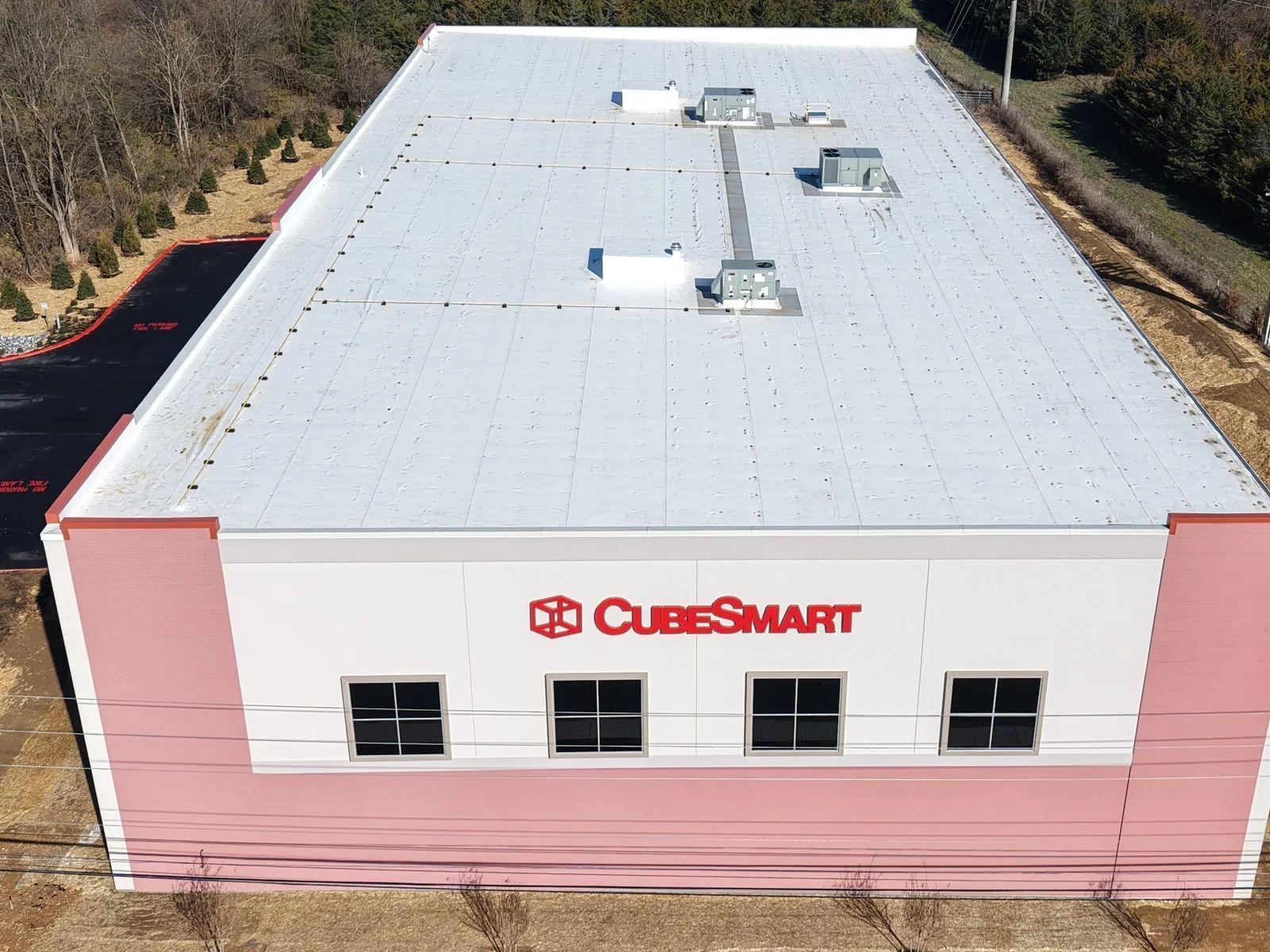
Flat commercial roofs, moisture intrusion and storm damage.
See roof inspections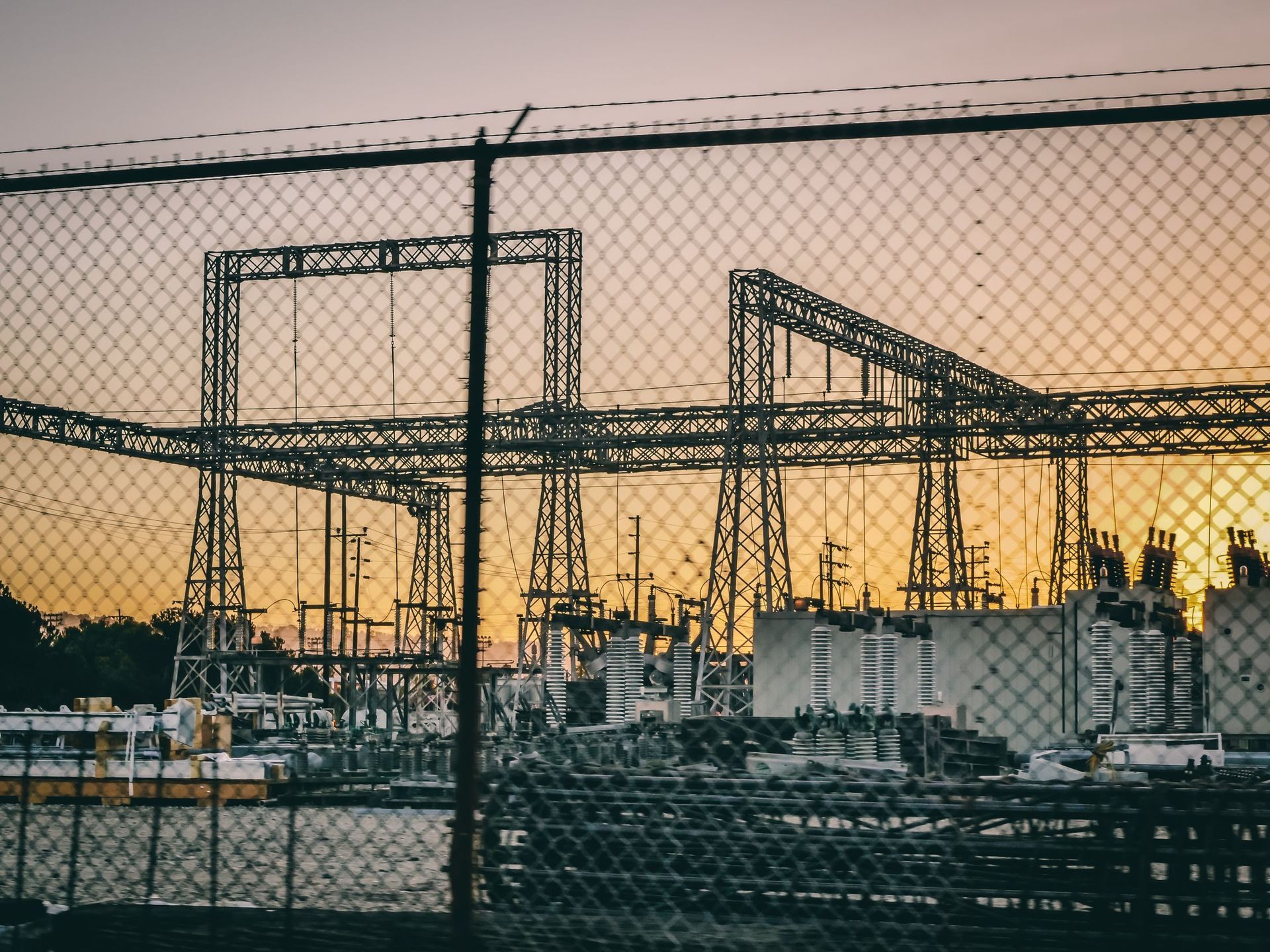
Substations, transformers, switchgear and distribution.
See utility and electrical inspections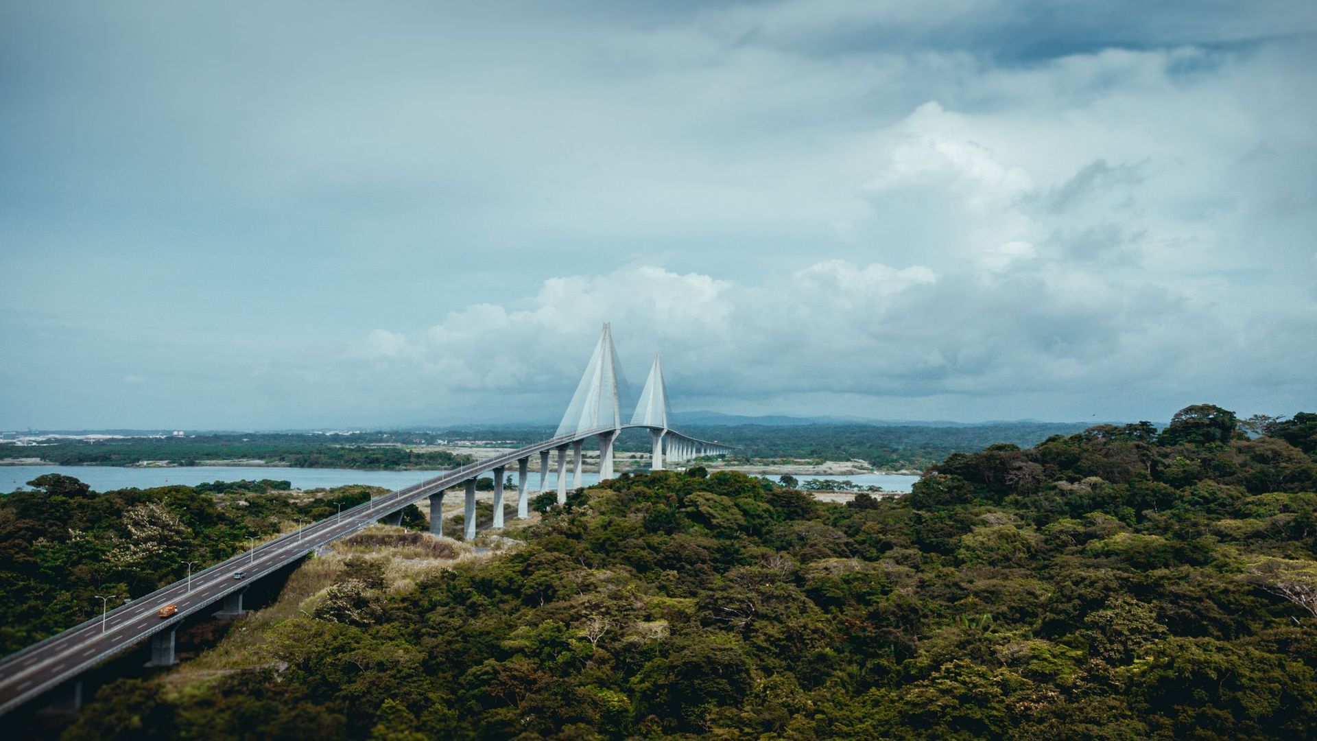
Bridges, towers, water tanks and construction monitoring.
See infrastructure and constructionWe discuss your goals, your concerns and what the inspection actually needs to answer.
Weather, airspace, site access and safety are evaluated before anything flies. This is the part most operators skip.
FAA-compliant flight operations. Thermal and high-resolution visual imagery collected with professional-grade equipment.
Thermal imagery is reviewed for temperature anomalies and areas that warrant further evaluation.
A detailed report with annotated imagery, observations and findings you can hand to a maintenance team or an adjuster.
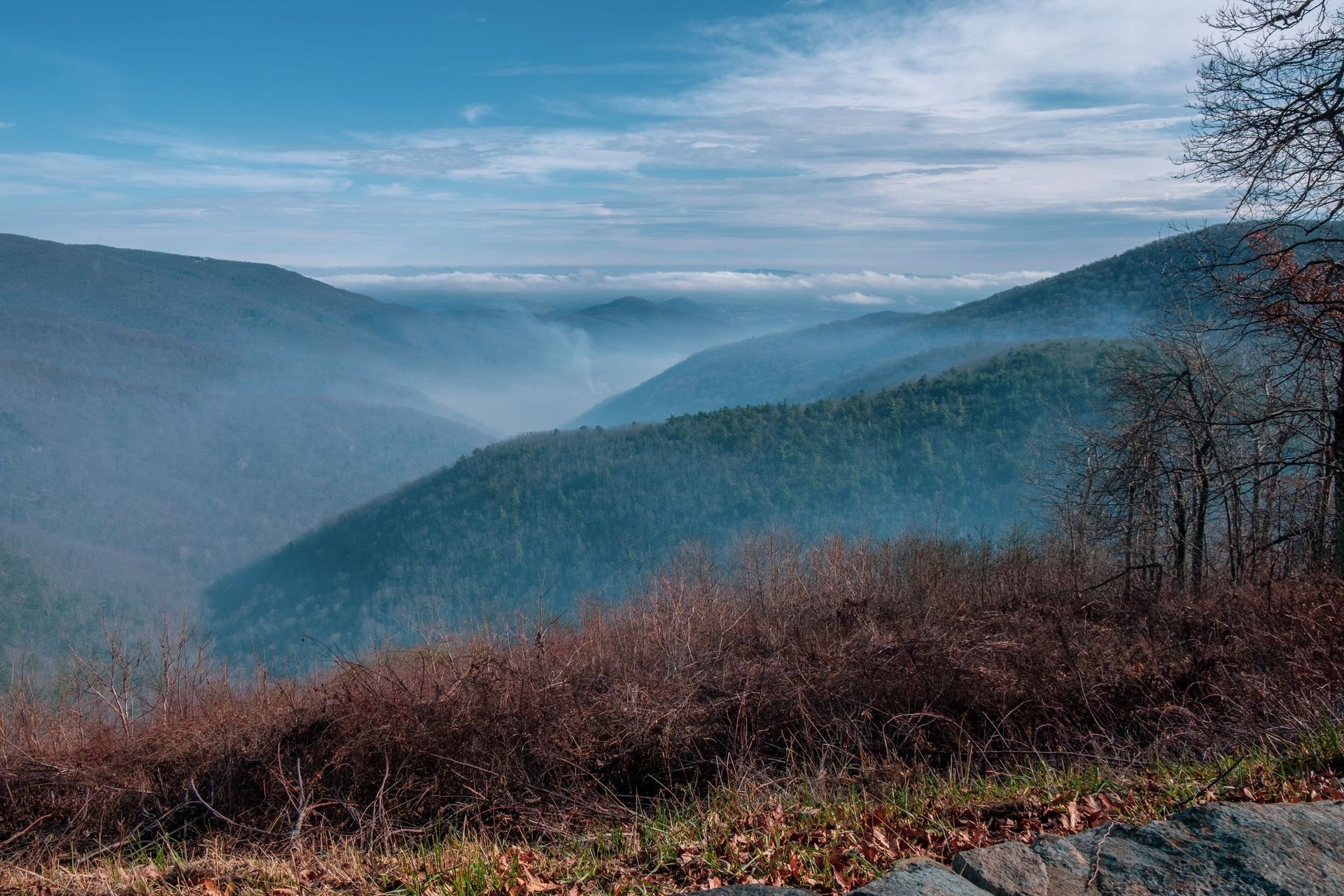
Rapid deployment throughout the Shenandoah Valley. For larger projects, the wider Mid-Atlantic - ask.
A short conversation is usually enough to tell you whether thermal is the right tool and what a flight would cost. If it is not the right tool, I will say so.